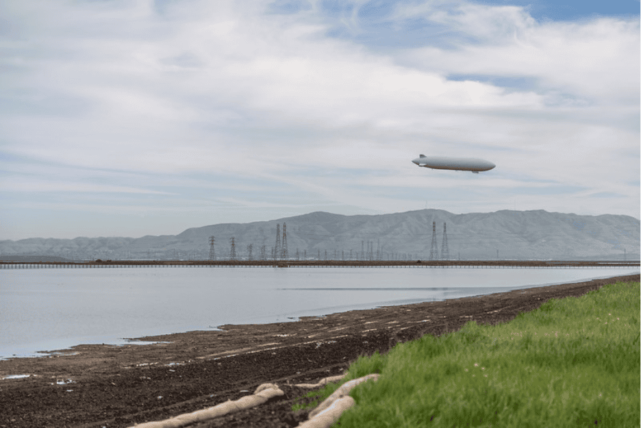
The Bay Area doesn’t have to imagine what flooding from this year’s Super El Niño will look like. We see a version of it every year when powerful winter storms combine with King Tides to move water where we don’t particularly want it to go – causing homes in San Mateo to flood and new kayaking routes to sprout up in Marin.
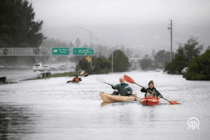
For the casual news reader it may feel like our region is stuck in a cycle of panic-and-ignore: Panic when the rain comes, and move on when the sun comes out (and then panic again thinking about the fact that sea level rise and extreme storms are only going to entrench us in this loop).
But there’s a lot going on behind the scenes for those of us focused on long-term flood resilience planning. On the ground, cities are investing in restored wetland habitats that strengthen their shoreline defenses against flooding. And at the policy level they’re looking for new ways to fund and plan around climate resilient infrastructure.
Check out the five stories below to learn more about how cities are using their days in the sun to prepare for what we know is coming – and hopefully help break us out of the looming cycle of disaster that many of us have started to anticipate each winter.
1. Alameda voters are investing in climate-ready infrastructure
Oof, to be an island in an era of sea level rise. The City of Alameda faces existential risks to property and infrastructure due to sea level rise and has by necessity become a visionary in adaptation solutions. They’ve created the Oakland Alameda Adaptation Committee, a collaborative of city staffers and academics who are scheming up creative stormwater capture and living levee projects – but at some point, these planned projects will live or die because of funding.
To cover an estimated $800 million in unfunded projects, the City of Alameda is considering asking voters to approve a property tax measure on the November ballot. If successful, this funding will be used to improve flood protection by building new nature-based shoreline protections, expanding storm drain capacity to quickly move water off the streets, and upgrading pumping stations to keep flooding at bay.
2. Novato is turning dredged sediment into stronger wetlands
To maintain navigable shipping channels, many areas of the San Francisco Bay are regularly dredged, producing excess sediment. In the past, most city planners who worked with dredged sediment would consider it a waste product. But in Novato, sediment is starting to be treated as a resource. The Marin County Flood Control District has been pioneering ways to reuse the dirt it removes from Novato Creek by spreading it along nearby wetlands where it helps the wetlands grow and maintain their ability to withstand sea level rise.
This approach relieves flooding in two ways – the creek is dredged to increase its capacity to carry water from upland areas that would otherwise flood downtown Novato, and the dirt that is removed helps maintain healthy marshes that act as a buffer against water from the Bay.
3. San Mateo County is putting climate resilience into its Safety Element
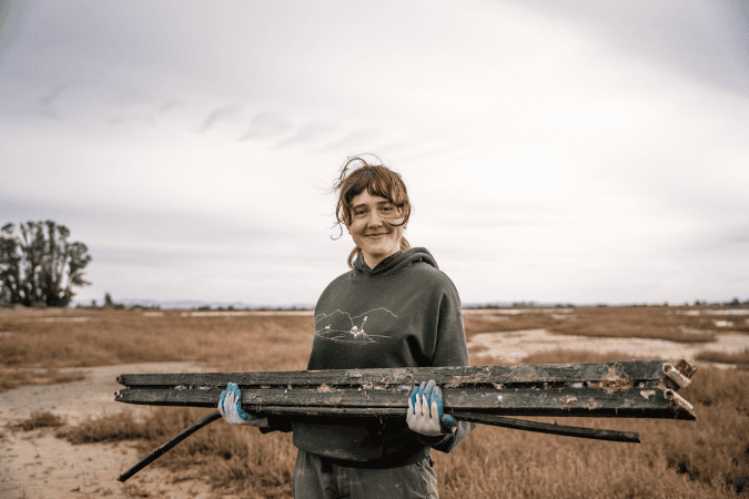
You know the Bay Area county that’s one of the most vulnerable to sea level rise in the entire country? It’s San Mateo. Roads, power plants, wastewater treatment plants, schools, and homes are all at risk of flooding over the next century. In response, San Mateo County is updating its Safety Element to better address climate-driven hazards, including coastal flooding.
The latest draft of this long-range planning document includes commitments to adopt flood-resilient building regulations in the sea level rise zone and advance multi-benefit nature-based shoreline projects. We’re pretty excited about it because Save The Bay is explicitly asking cities and counties to include these sorts of policies in their planning documents (check out our ‘Snapshots’ work on our Advocacy page here). While many cities are planning to tackle these kinds of decisions in their long-term sea level rise planning process; updating the Safety Element is one potentially nearer-term way to start this work.
4. San Francisco is centering the conversation around flooding
San Francisco is many things – but one thing it is not is ‘simple,’ at least from a planning perspective. The billions of dollars’ worth of assets in San Francisco that are vulnerable to flooding are often owned and managed by a web of different agencies and subject to layers of unique planning efforts.
The City is cutting through this complex planning landscape and tackling flooding issues through a sea level rise working group that will identify the city’s flood vulnerabilities and create an implementation plan for shoreline adaptation projects.
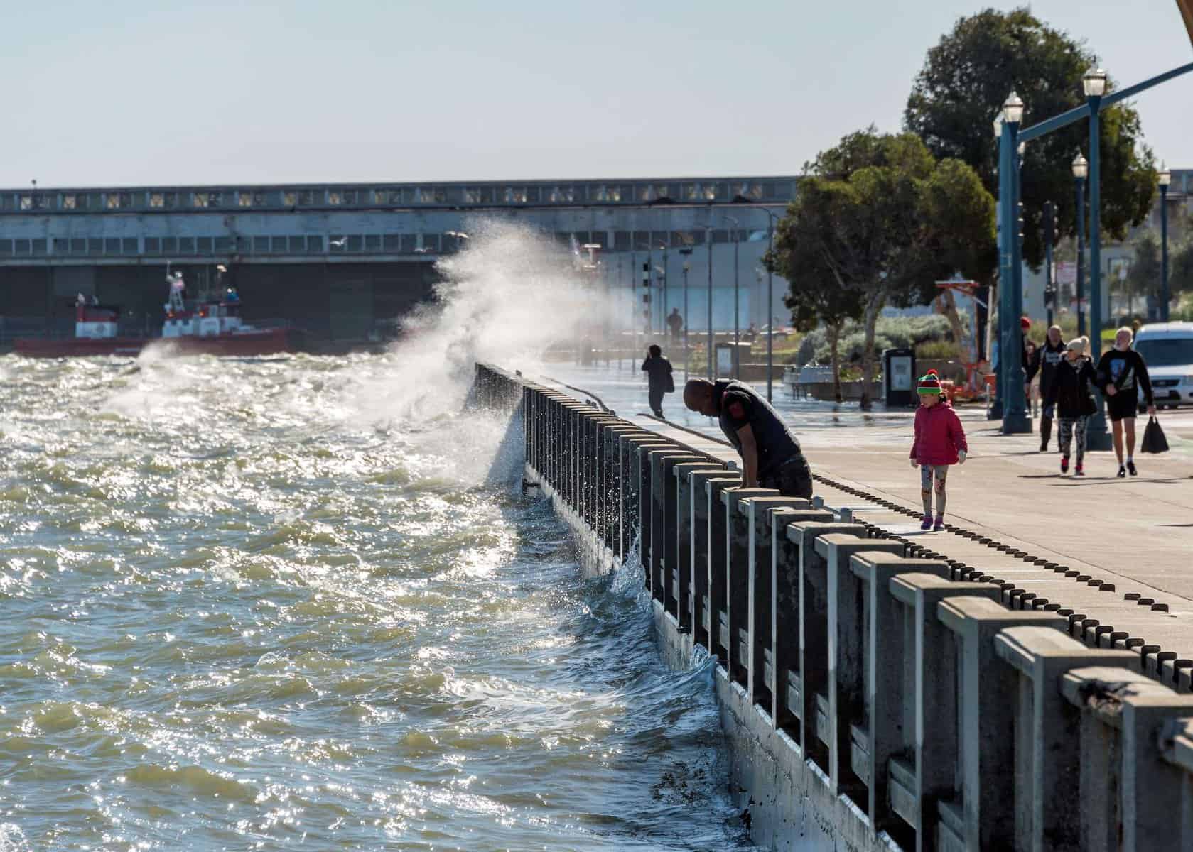
Planning for a project to protect San Francisco’s Waterfront will be managed by the Port of San Francisco, but will be subject to The City of San Francisco’s Planning Department and local area plans, in addition to significant involvement from the U.S. Army Corps of Engineers and the San Francisco Bay Conservation and Development Commission. Seems like a good idea to get everybody in one room.
5. Mountain View is restoring tidal connectivity
Not all sea level rise planning has to come in the form of a splashy project that looks great from a window seat above SFO, but the South Bay Salt Ponds project is just that and more. It’s the largest wetland restoration project on the West Coast, and it involves converting ponds formerly used for industrial salt production back into their original state as healthy wetlands.
One of these ponds, formally named Pond A2W, lies adjacent to Mountain View’s Shoreline Park, and its restoration is considered complete as of early this year. Levees previously separating the pond from the rest of the San Francisco Bay were breached, returning tidal flow to the pond, and the tides will now wash sediment into the pond and allow wetland plants to grow over time. Save The Bay will be planting and monitoring vegetated features of the pond throughout the year.