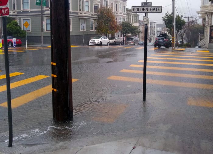
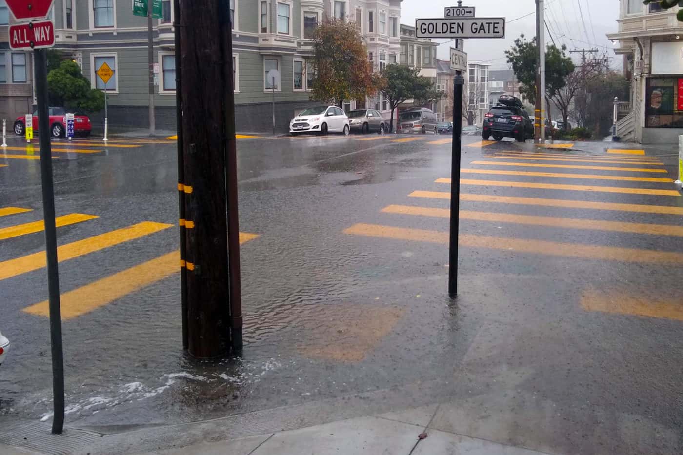
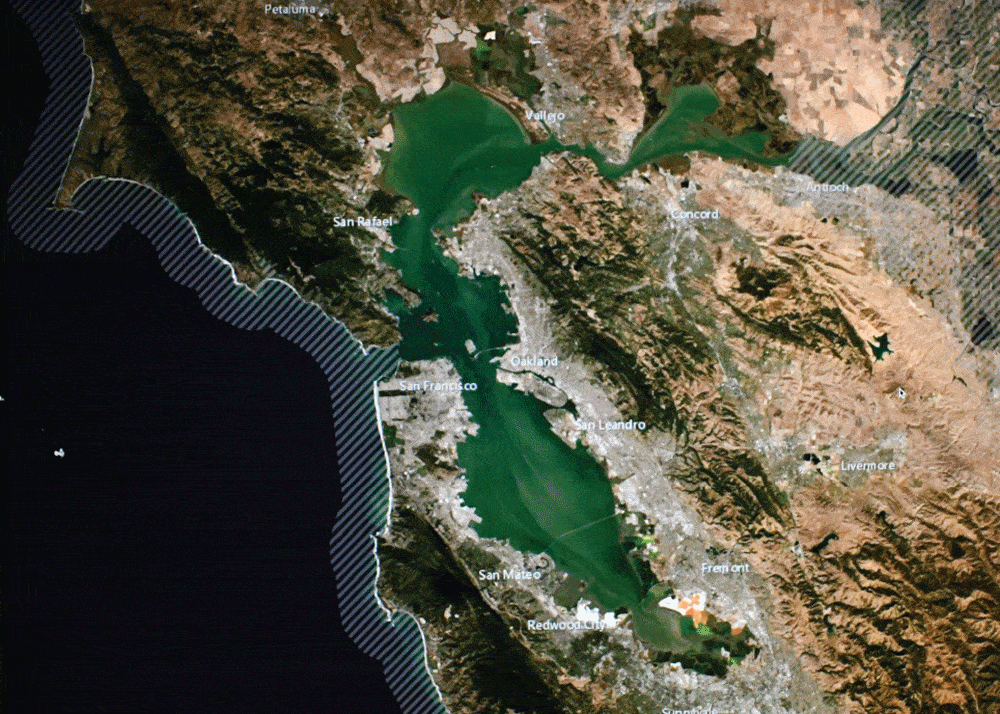
San Francisco, 2023
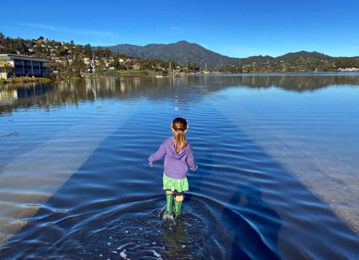
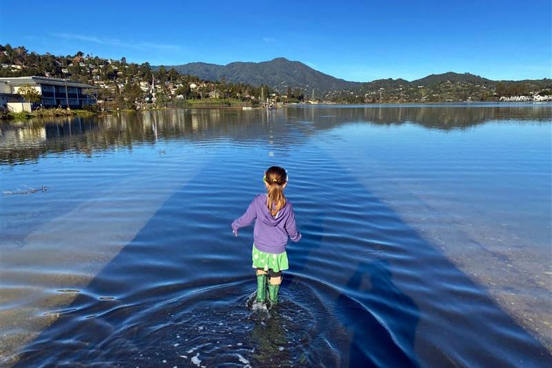
Mill Valley, January 2023
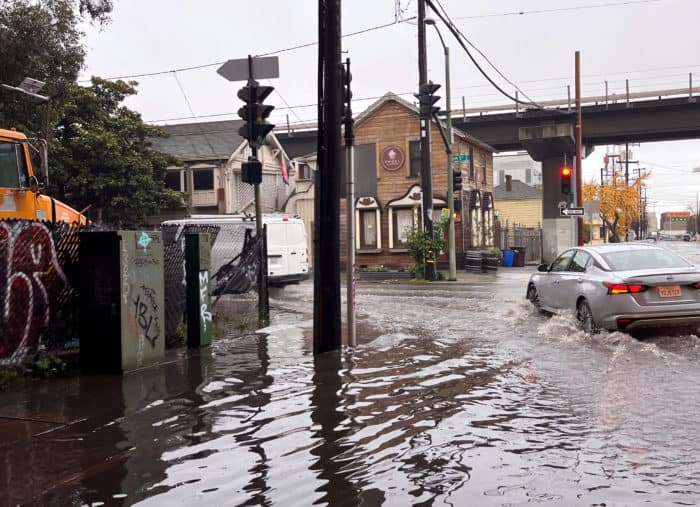
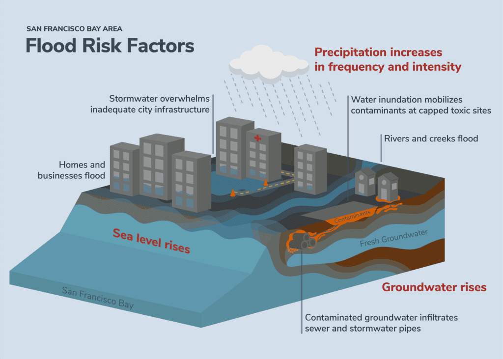
Oakland, January 2023


-

Prioritize nature-based solutions
such as wetland restoration, horizontal levees, and green stormwater infrastructure.
-

Center the voices of front-line communities
in flood resilience planning.
-

Address risks and plan for the future
by focusing development in low flood-risk areas, and applying new building standards that reflect the latest flood risk projection.


-

Local government officials or city staff
wondering how to make their cities more resilient to sea level rise and flooding.
-

Non-profits and community-based organizations
who advocate for their cities to take action on flood resilience.
-

Members of the public
who want to learn more about flood resilience policies.