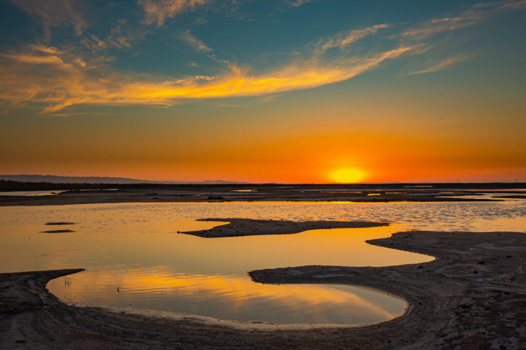
Hear the calls of shorebirds overhead, feel the warmth of the sun on your back, and let a cool Bay breeze refresh you. As spring brings fresh blooms, green marshes, and clearer skies along the water’s edge, there’s no better time to experience the beauty of Bay Area shorelines.
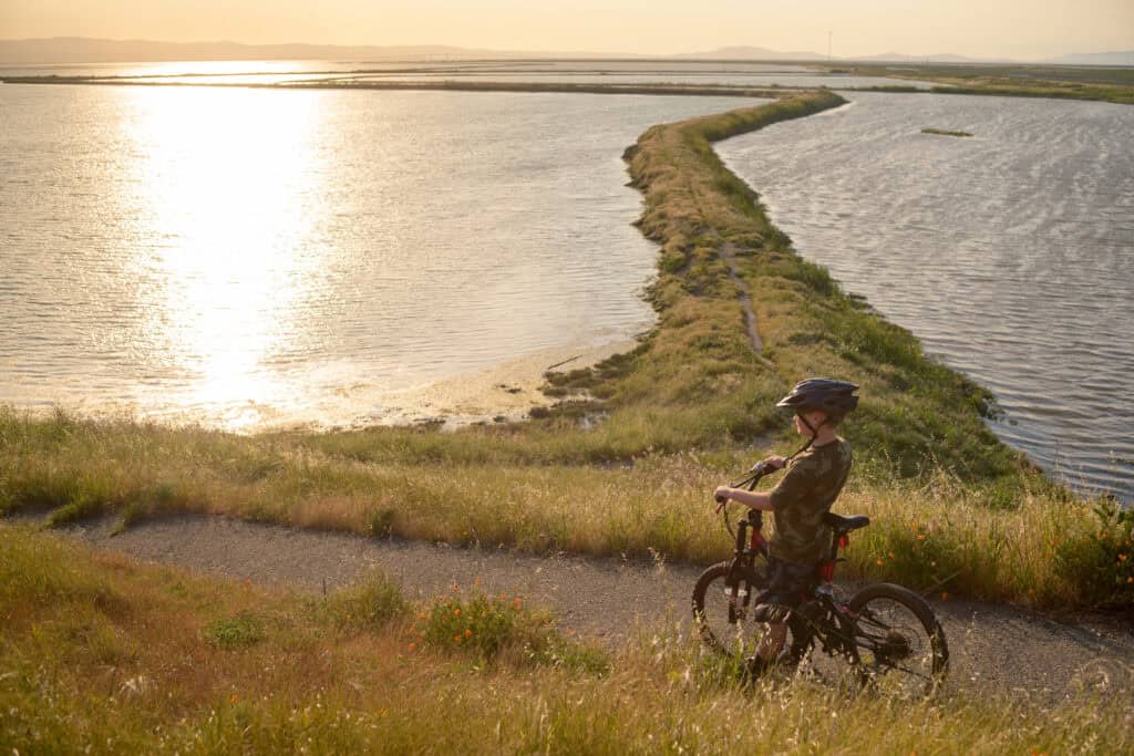
This year, Celebrate Trails Day falls on Saturday, April 25! We hope you will join us, Rails-to-Trails Conservancy, and people nationwide in celebrating America’s amazing trails. This is a chance to connect with nature and show your appreciation for the essential trails that expand access to the Bay, provide protected spaces for wildlife, and bring communities together.
Planning a fun outing with friends or family? We’ve rounded up some of the best shoreline trails in the region. Whether you’re in the heart of a city or along the Bay’s edge, seeking a casual stroll or longer hike, there’s something for everyone to explore! Looking to venture inland? Check out our guide to Bay Area hikes for even more options.
Our Spring Trail Recommendations
Discover some of our favorite spring trails below. For an interactive map and more routes, visit the San Francisco Bay Trail website.
San Francisco/Peninsula
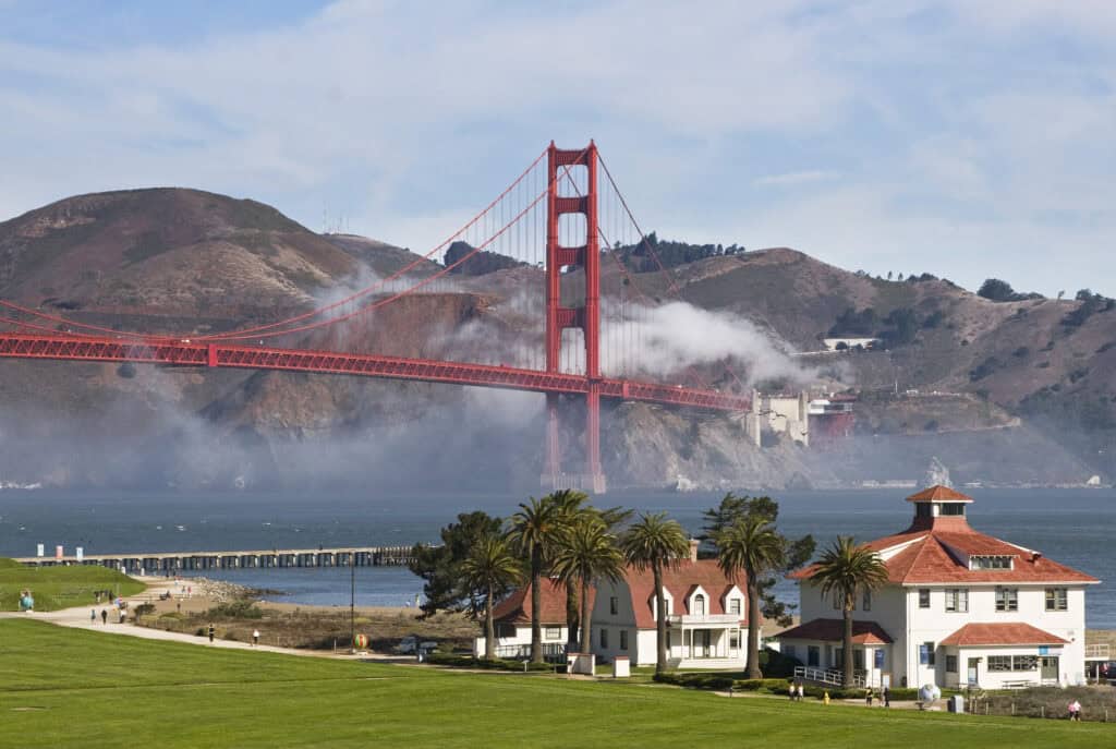
Marina Green to Crissy Field (San Francisco)
5 miles roundtrip
Starting from the foot of Fort Mason and extending to the Warming Hut at Crissy Field, this flat shoreline route features amazing views and both paved and natural surfaces. Crissy Field is a great place to gather with friends and family across a picnic table. Bring a basket, enjoy the scenery and catch a spectacular sunset from East Beach or the West Bluffs!
Sierra Point to Oyster Point (Brisbane and South San Francisco)
8 miles roundtrip
This trail between two marinas takes you along the historic shoreline of Oyster Cove. Pass along the water’s edge where oysters were harvested and ships were built, and curve around Oyster Cove Marina, where weathered piers still stand as reminders of over a century of industry. This site played a role in major moments of history — producing ships for both World Wars and manufacturing piping for landmark infrastructure projects like the Hetch Hetchy, Grand Coulee, Shasta, and Folsom dams.
San Mateo Shoreline Park
4.6 miles roundtrip
This paved trail includes Ryder Park and Seal Point Park, offering family-friendly amenities with beautiful views. Ryder Park features an interactive tidal water system, playgrounds, a kayak and windsurf launch, picnic areas, and restored wetlands. Cross an elegant bicycle/pedestrian bridge over San Mateo Creek to reach Seal Point Park, a former landfill with views of the Bay and public art. A nearby boardwalk extends into the marshes with views of the mudflats.
South Bay
Sunnyvale Baylands Park (Spur Trail)
4.5 miles
Sunnyvale Baylands offers peaceful waterfront views in the heart of the South Bay. This 70-acre park includes seasonal wetlands, grassy uplands, and a children’s play area, perfect for walking, biking, or enjoying a family outing. Picnic enthusiasts will enjoy two large group areas that seat up to 325 people and four smaller areas for 60–130 guests.
Alviso Marina County Park (San Jose)
9 miles roundtrip (dry season)
This former marina has been restored to wetlands, with improved trails and a boat launch at Alviso Slough. Stroll or bike along the water’s edge, enjoying views of freshwater and brackish marshes, abundant wildlife, and salt ponds undergoing restoration as part of the South Bay Salt Pond Restoration Project. The nearby Alviso Historic District preserves the area’s maritime and industrial past, including warehouses, former canneries, and community buildings that reflect Alviso’s role as a major port in the 19th and early 20th centuries.

Coyote Creek Trail (Milpitas)
4.6 miles
Follow this scenic stretch of trail along Coyote Creek to Dixon Landing Road as it traces the edge of marshes and wetlands at the southern end of the Bay. This mostly flat route offers tranquil shoreline scenery and connections to nearby parks, making it ideal for an easy walk, run, or bike ride. Along the way, enjoy views of tidal channels and restored habitats, with frequent opportunities to spot shorebirds and waterfowl.
East Bay
Richmond Marina
2.6 miles roundtrip
From the Craneway Pavilion to Vincent Park and Shimada Park, this shoreline trail winds through the Marina. Along the way, you can spot Brooks Island Regional Preserve, a protected nature area visible from the shoreline. The trail passes the Rosie the Riveter Historical Park, where you can learn about Richmond’s vital role on the World War II home front, as well as Lucretia Edwards Park and Marina Bay Park. Perfect for a relaxed walk or bike ride, this route showcases the best of Richmond’s waterfront.
Berkeley Waterfront to Emeryville Marina
4 miles roundtrip
This popular route from University Avenue to Shorebird Park in Emeryville runs along the Bay and provides stunning views of the Golden Gate and San Francisco-Oakland Bay bridges. At the Shorebird Visitor Center, you’ll find aquariums and displays on local aquatic species, marine mammals, and birds. Families can also stop by the nearby Adventure Playground for hands-on fun. Enjoy a picnic at Shorebird Park or a meal at one of the Marina’s several restaurants afterward!
Hayward Shoreline Recreation Area
9 miles roundtrip
The 1,811-acre Hayward Regional Shoreline provides habitat for hundreds of bird species and other wildlife, including the endangered salt marsh harvest mouse, with more than 600 acres of former salt ponds restored into freshwater, brackish, and saltwater marshes. Find parking at Hayward’s Landing or the Hayward Shoreline Interpretive Center, where you can view the art gallery and animal exhibits and explore programs and activities designed to inspire stewardship of the Bay. Those interested in biking more in Hayward can also explore local efforts like Bike East Bay’s Hayward on Two Wheels campaign.
North Bay
Napa River/Bay Trail (American Canyon)
5.6 miles roundtrip
During this walk, you’ll see restored marshlands, sweeping vistas, and a glass beach. The trail surface is mostly natural, with a short, paved segment from the parking lot at the intersection of Wetlands Edge Road and Eucalyptus Drive. Relatively new segments of trail are the result of two different types of reclamation: The Mike Thompson loop trail encircles a capped landfill, and the trail heading north along the Napa River abuts restored salt ponds.
China Camp State Park (San Rafael)
9.4 miles roundtrip
This swooping pedestrian and bicycle (mountain bike recommended) trail threads through oak and bay woodlands and boasts a robust deer population and spectacular views of San Pablo Bay. Enjoy a day at the beach at China Camp Village, and learn about the history of Chinese shrimp camps at the China Camp Historic Area and museum. Picnic and BBQ facilities are available at several lovely shoreline spots within the state park.
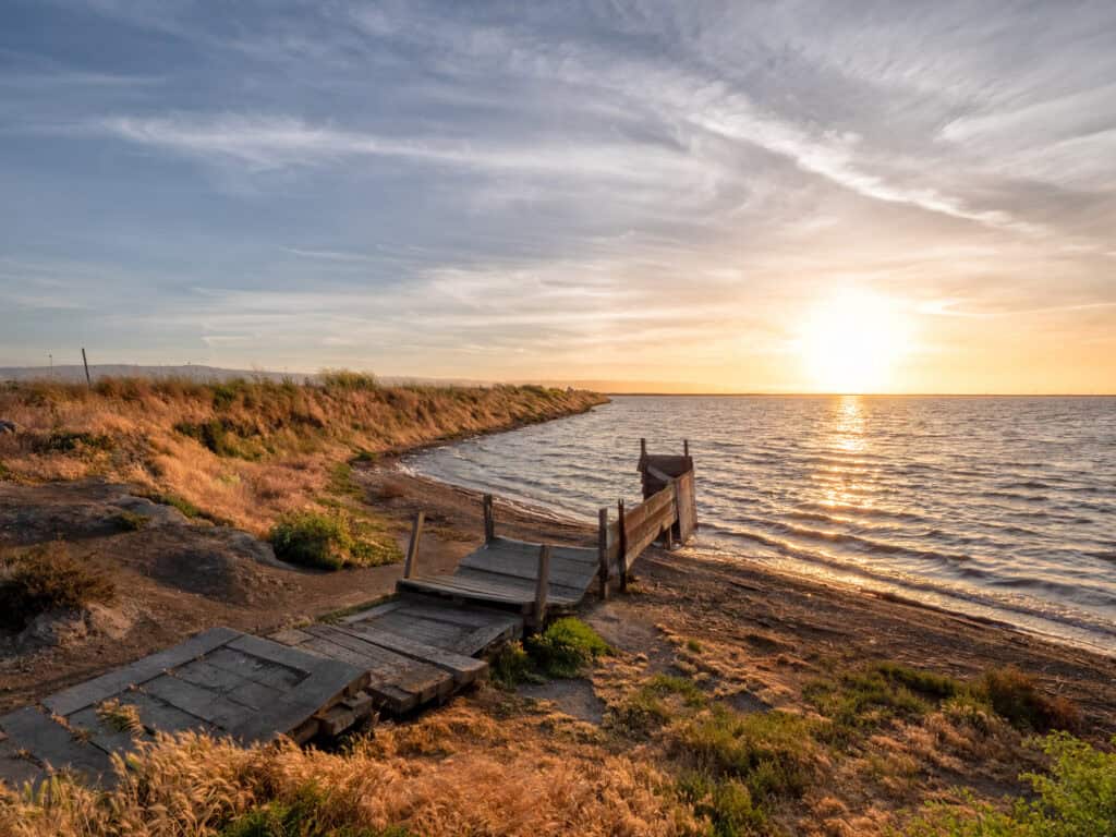
Sonoma Baylands (Petaluma)
3 miles roundtrip
This easy trail is ideal for a leisurely stroll, birdwatching, and observing wetland restoration in action. Park near Port Sonoma Marina and follow the path to the Bay, where you may spot shorebirds, herons, and egrets, especially during migration seasons. Benches and picnic areas make it a great spot to enjoy a quiet day in nature. Don’t forget to bring binoculars and a camera!
We hope these trail picks inspire your next outdoor adventure. And remember — great hikes are safe hikes! Be sure to dress for the conditions and bring plenty of water and snacks to stay energized and comfortable along the way.
Recognizing Our Partners
As you explore the Bay’s trails this season, we want to recognize the dedicated partners who make these experiences possible. In particular, we’d like to thank Bay Area Ridge Trail, Trails for Richmond Action Committee (TRAC), the East Bay Bike Coalition, and Marin Bike Coalition for their advocacy and commitment to preserving and maintaining the Bay Trail, as well as their longstanding efforts to close gaps across the region’s trail network.